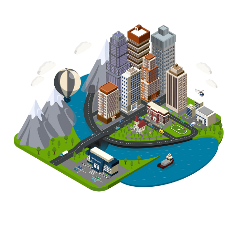
Putrajaya Urban Observatory
Urban indicators, city benchmarking, and real-time dashboards:
Knowing and governing cities through open and big data
Knowing and governing cities through open and big data
The Putrajaya Urban Observatory stands at the forefront
of urban innovation,serving as a dynamic hub for the
systematic collection, analysis, and interpretation of
data pertaining to the city's development. Established
as a collaborative initiative between government agencies,
academic institutions, and private partners, the observatory
represents a pioneering approach to understanding and
shaping the urban landscape.
The observatory boasts a sophisticated network of sensors strategically placed throughout Putrajaya. These sensors capture real-time data on various environmental factors, including air quality, temperature, humidity, noise levels, and more.
Utilizing advanced satellite imagery and Geographic Information System (GIS) technology, the observatory incorporates a geospatial perspective into its data. This integration allows for the mapping and analysis of spatial patterns, land use changes, and urban growth over time
To promote awareness and understanding of urban development, the observatory features an educational outreach center. This facility hosts workshops, training sessions, and educational programs for schools, universities, and the general public.
A state-of-the-art data visualization center serves as the nerve center of the observatory. Equipped with interactive displays and multimedia tools, this facility enables stakeholders to interpret complex data in a user-friendly manner, fostering better understanding and decision-making.
Satellite technology is employed to capture high-resolution imagery and monitor changes in land use, vegetation, and urban structures. Remote sensing techniques enhance the observatory's ability to analyze large geographical areas.
GIS technology is used for geospatial analysis, allowing for the visualization and interpretation of spatial patterns. This is crucial for understanding the interconnectedness of various urban elements and making informed decisions.